
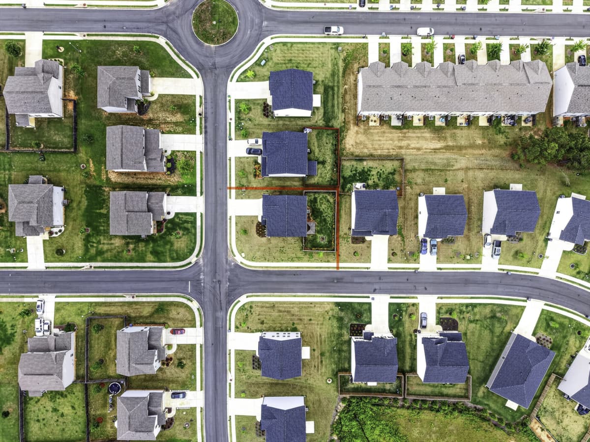
Repeatable overhead views make phases, access, staging, and site change easier to communicate.
Aerial photography · Northeast Georgia + Greater Atlanta
See the whole
opportunity.
Drone photography and video that gives land, buildings, construction sites, and properties the context they need to move a decision forward.
 Context from above
One viewpoint, several jobs
Show scale.
Explain change.
Give owners, buyers, and investors a clear sense of acreage, boundaries, surroundings, and potential.
Show the building in context with roads, parking, neighboring businesses, and the larger Northeast Georgia market.
Add a sense of place to listings when the setting is part of the value story.
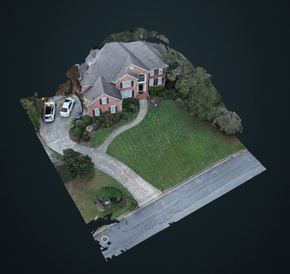
Turn a flight into a top-down map or 3D model, useful for planning layouts, visualizing concepts, and giving context beyond a single photo.
Built around the brief
Useful files for
the next audience.
01Still photography
High-impact aerial frames for web, proposals, listings, reports, and print.
02Short-form video
Simple motion clips and progress updates when movement communicates more than a still.
03Repeatable coverage
Scheduled visits and consistent viewpoints for projects that need a visual record over time.
04Scope-aware delivery
We plan around airspace, weather, access, safety, travel, and how the media will actually be used.
05Mapping & modeling
Stitched orthomosaics and 3D existing-conditions models for site planning, concept visualization, and stakeholder review. Visual planning references, not survey deliverables.
Mapping & modeling
A site view,
built from the flight.
A point-cloud sample from an aerial capture. Useful for discussing 3D context and visual planning; not a survey deliverable.
Selected projects
Context from
above and around.
Commercial and construction examples showing how a building and its site fit together.
Before we fly
Clear expectations.
Better coverage.
Drone work depends on airspace, weather, property access, site conditions, and the intended use. I confirm the practical constraints before the shoot and explain when aerial coverage is not the right tool.
Travel fees apply outside the core service area. Commercial and construction coverage is available across Northeast Georgia; Greater Atlanta coverage is available for the right brief.
Check a location ↗A clearer project brief starts here